
Getting There
“Was good to have stayed in the natural environment were the environmental preservation is notorious”
Como Chegar

Photo - Meg Coates Palgrave

Photo - Lauren Steyn
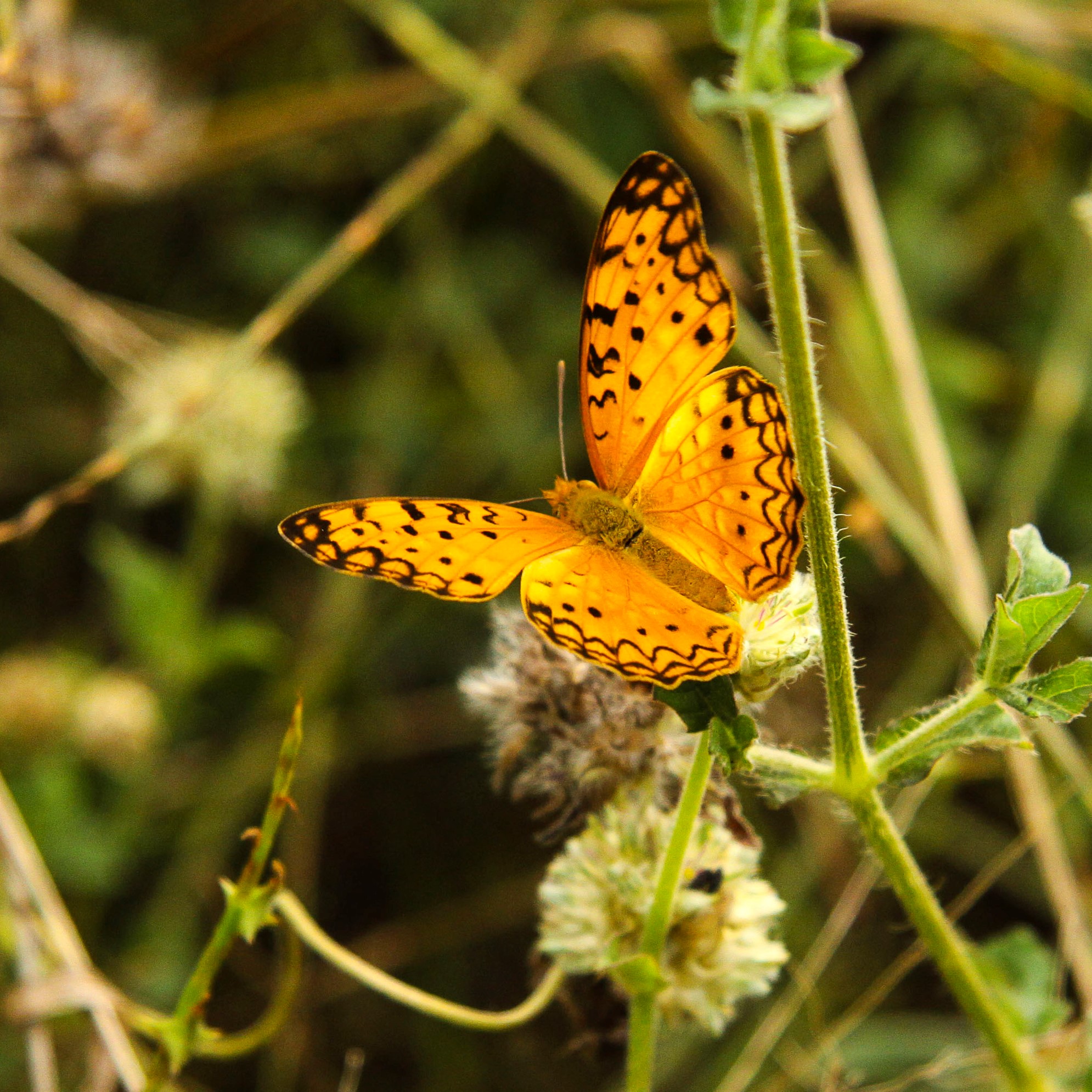
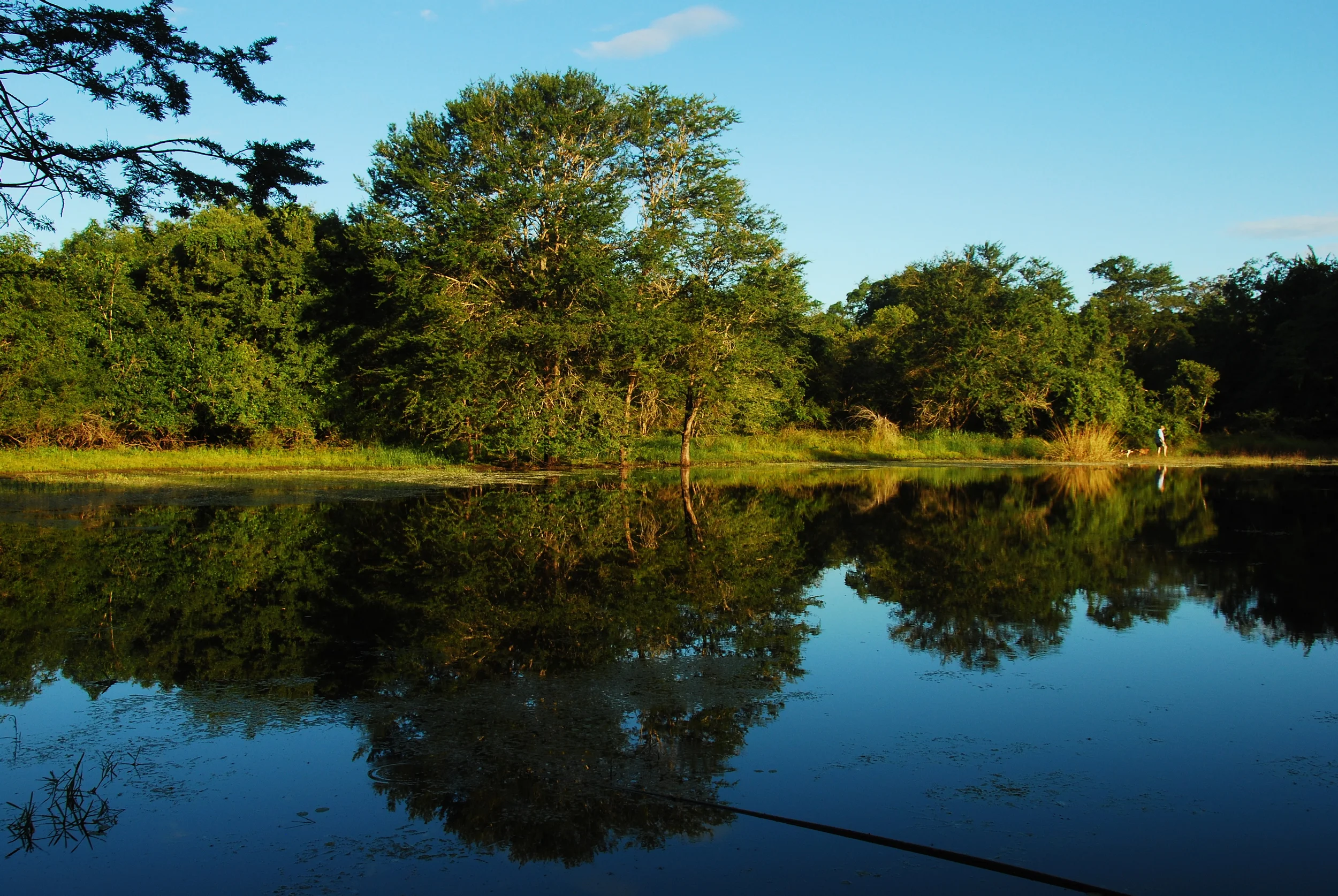
Photo - Celesta von Chamier
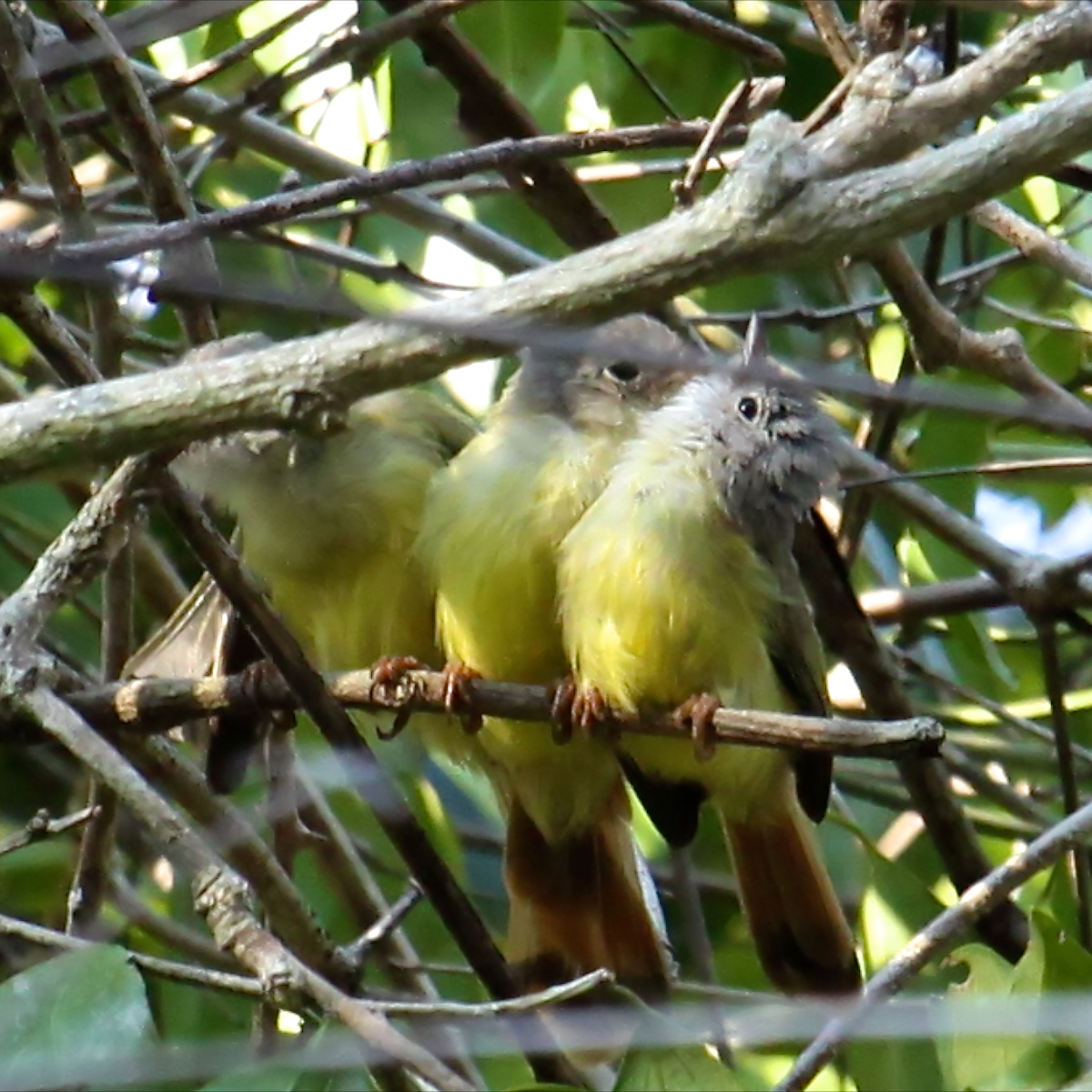
Photo - Celesta von Chamier
The camp is situated 32km south of the Zambezi River on the main North/South highway (EN1). GPS Coordinates: 18° 02” 667” South - 35° 12” 388’ East
From the south there are two roads to M’phingwe, the EN1 (North - South Highway Nº1) and an alternate route using the dirt road from Dondo via Muanza and Inhaminga. The alternate route can be in poor condition in the wet season (Dec to April)
From Inchope (Intersection of the EN1 and EN6)
Inchope – 33km – Pungue River – 9 km – Gorongosa National Park main entrance – 33km – Gorongosa Town – 12 Km Chintunga River – 57 km – Nhandugue River – 68Km – Mombezi River – 62 Km – Intersection with the Dondo/Inhaminga Road – 12km – M’phingwe
Beira – Dondo – 10km – Cheringoma Turn off – 80 km – Gorongosa National Park back entrance (closed) 10km – Muanza – 21km – Entrance to the LevasFlor Concession – 26Km Mazamba – 20km – Inhaminga – 15km – Inhamitanga - Intersection with the Dondo/Inhaminga Road – 12km – M’phingwe
From the north, cross the Zambezi River at Caia using the Armando Guebuza Bridge, M’phingwe is 32km south on the EN1 (North - South Highway Nº1)
“Fantastic place, enjoyed by all”
“Um lugar fantástico, gostâmos todos”
O acampamento situa-se a 32km a sul do Rio Zambeze na Estrada Nacional Norte/Sul (EN1). Coordenadas GPS: 18° 02” 667” Sul - 35° 12” 388’ Este
Vindo do sul há duas estradas para M’phingwe, a EN1 (Estrada Nacional No 1, Norte-Sul) e uma rota alternativa usando a estrada de terra batida de Dondo via Muanza e Inhaminga. Na estação de chuvas (Dezembro a Abril) a rota alternativa pode estar em más condições
De Inchope (Cruzamento da EN1 com a EN6)
Inchope – 33km – Rio Pungue – 9 km – entrada principal do Parque Nacional de Gorongosa – 33km – Vila de Gorongosa – 12 Km – Rio Chintunga – 57 km – Rio Nhandugue – 68Km – Rio Mombezi – 62 Km – Cruzamento com a estrada Dondo/Inhaminga – 12km – M’phingwe
Beira – Dondo – 10km – Desvio para Cheringoma – 80 km – entrada traseira do Parque Nacional de Gorongosa (fechada) – 10km – Muanza – 21km – Entrada da Concessão de LevasFlor – 26Km – Mazamba – 20km – Inhaminga – 15km – Inhamitanga – Cruzamento com a estrada Dondo/Inhaminga – 12km – M’phingwe
Do norte, atravesse o Rio Zambeze em Caia usando a Ponte Armando Guebuza. M’phingwe fica a 32km a sul da EN1 (Estrada Nacional No 1, Norte-Sul)
“Simply amazing, I feel at home”

Photo - Meg Coates Palgrave

Photo - Pierre Malan

Photo - Ant White

Photo - Celesta von Chamier